We’re happy to announce that we’ve partnered with Stockport Council on a project called ‘Mapping Mobility Stockport’, funded through the ODI Geospatial Fund. Working with Age UK and Disability Stockport, the project will crowdsource data about accessibility issues in Stockport, drawing on the lived experiences of people with mobility impairments to supplement data already available to the council.
Most maps and mapping applications give you the fastest routes from A to B, but for some these may not be the most accessible. There may be no drop in the kerb, which immediately makes it difficult for wheelchair or mobility users. The paving itself may be find for able-bodied people, but less-so for those with walking aids. The path may be fine for most of us, but is that gate wide enough?
As a result, people develop their own strategies and routes to make their every day journeys. This information remains tacit within the community, and one of the aims of Mapping Mobility Stockport is to begin to map and find ways to continue to share these strategies.
Using our Joy Diversion format as a basis, we’ll co-designing and running a series of workshops with Age UK and Disability Stockport, which will bring together different techniques and mobility strategies contained within the local community to enable people of all abilities to explore and map their environment.
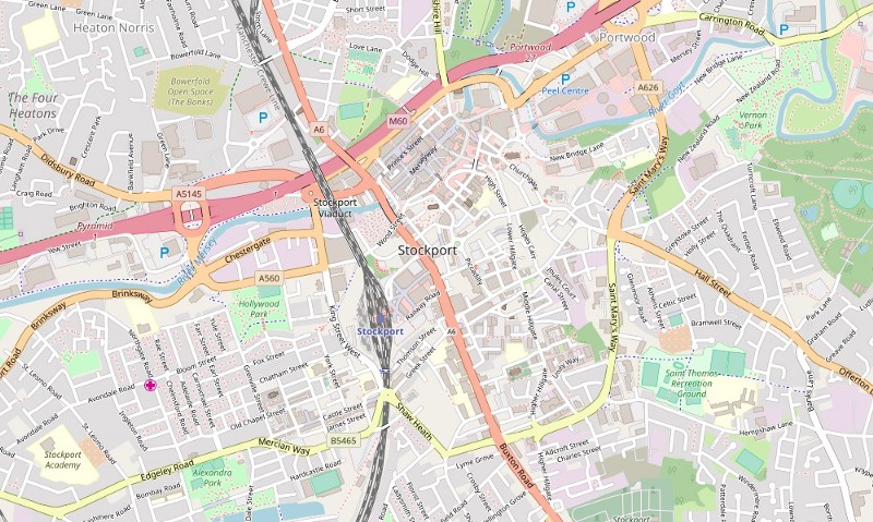
We’ll use large, hi-resolution maps of Stockport to scribble on and sketch out routes, before taking to the streets to document, photograph and map the kind of things that these communities come up against on a daily basis. This information will then be added to Stockport Council’s mapping system and Open Street Map, helping create a mobility map of Stockport.
Workshops will take place throughout January and February, aiming for a March/April project completion date.
To stay updated, you can follow us on Twitter, or sign up to our monthly mailer.