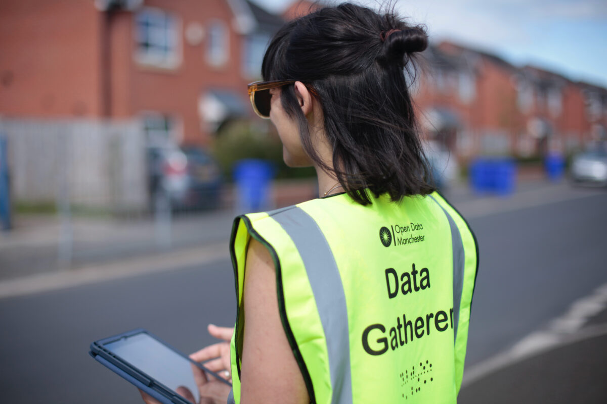
Open Data Manchester is developing a Community Data Handbook – an open resource that will enable communities to carry out their own data projects.
Throughout 2021, as part of Our Streets Chorlton, Open Data Manchester helped to organise community-led data collection, including local traffic counting and air quality monitoring. More than 40 local volunteers participated in the programme, supporting its design, training, data collection processes and attending monthly meetups. A number of resources, toolkits and training materials were created, and we’re now building upon these to create a ‘Community Data Handbook’.
What will it do?
Drawing on the Our Streets Chorlton project, as well as Open Data Manchester’s own Data For Communities and Data Expedition programmes, the handbook will:
- Help communities plan and carry out their own data collection projects
- Help to ask the right questions, look for what data exists, and enable new data to be collected
- Help make sense of the data and turn it into actionable insight
- Provide easy to use examples, resources and step-by-step guides
- Support best practice and give the community ownership of the data
- Help individuals and communities feel more connected and empowered in relation to what is going on in their street and neighbourhood
- Give guidance around how to use the insight gained for neighbourhood action.
Who is it for?
- Any community or community organisation that wants to better understand what is happening on their street or neighbourhood
- Anyone looking to get support for ideas to help make their neighbourhood better
- Local councils or housing associations who want to engage in a co-design approach with communities for things like School Streets or Low Traffic Neighbourhoods
- Local councils who are looking for tools and resources to help them activate and empower local communities.
What work has been done?
We are currently working with Walk Ride Whalley Range, a community-based active travel organisation, who are collaborating with a number of schools in the local area to measure the efficacy of a school streets pilot.
Walk Ride Whalley Range are connecting us with members of the local to community to road-test our current resources, provide feedback and help us redevelop our materials.
How you can get involved
We will be running a number of user research and co-design workshops in early 2023 and would love to hear from you if you would like to be involved. For more information email sam@opendatamanchester.org.uk.

