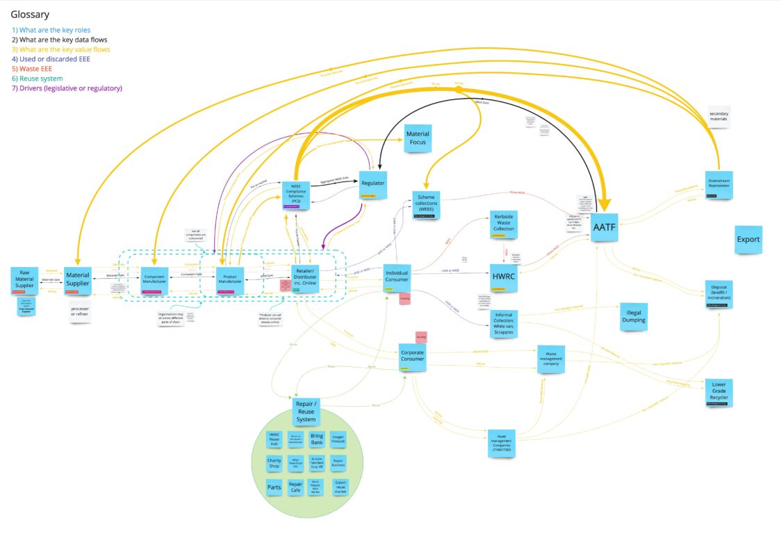
The Open Product Initiative is a collaborative project between Loughborough University, Open Data Manchester and Dsposal, with support from TechUK and Buyerdock. The aim is to explore the development of an open
02
Aug
Aug
Welcome to the second instalment of our blog series showcasing Open Data Manchester’s decade of data-driven change. In this series, we’re diving into eight case studies that demonstrate the real-world

30
Jul
Jul
When a decision is made that affects us, we hope the people involved are thinking carefully about its impact. But it isn’t always a human who is doing the legwork. Algorithms,

26
Jul
Jul
Welcome to our new blog series showcasing Open Data Manchester’s decade of data-driven change. For over ten years, ODM has been at the forefront of raising awareness about the opportunities
03
Nov
Nov
Increasingly algorithms are being used to automate decision-making in the public sector. Sometimes they are used to support humans to make final decisions, sometimes decision-making is entirely automated. These systems
09
Oct
Oct
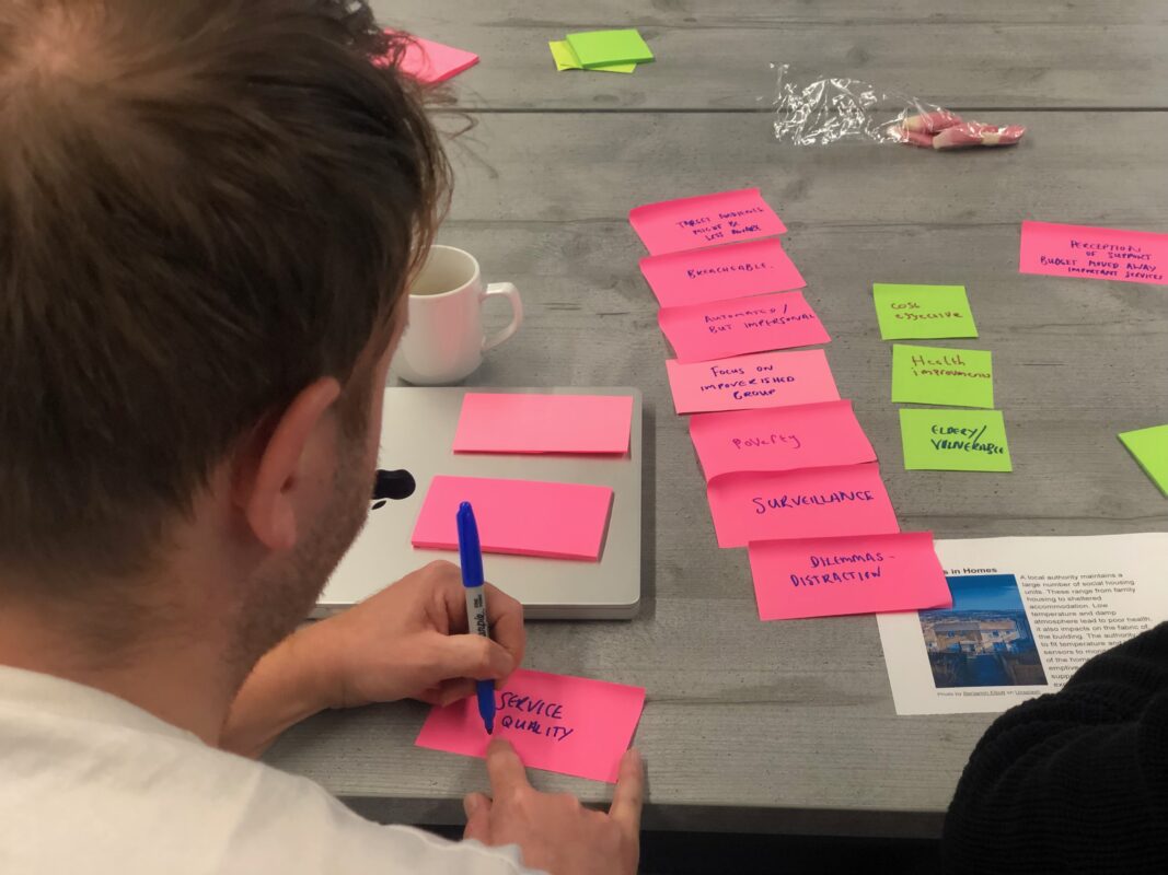
Over the last 18 months Open Data Manchester has been conducting user needs research as part of the development of the Digital Solutions Hub for the Natural Environment Research Council.
21
Sep
Sep
Are you passionate about the role of standardised, sharable packaging data in unlocking the circular economy? Then Open 3P needs you… Our vision is for a more circular economy in

01
Sep
Sep
Data, and the systems that underpin it, are transforming our world. Our ability to create, collect, transmit, analyse and store data has opened up incredible new possibilities. But it has

17
Aug
Aug
Since October last year, we’ve been working to understand more about how women and girls in Trafford experience where they live. With Trafford Council and GreaterSport, Right to the Streets
28
Jun
Jun
Back in September 2021 we launched the Declaration for Responsible and Intelligent Data Practice – a shared vision for data in Greater Manchester. It was co-designed over a period of