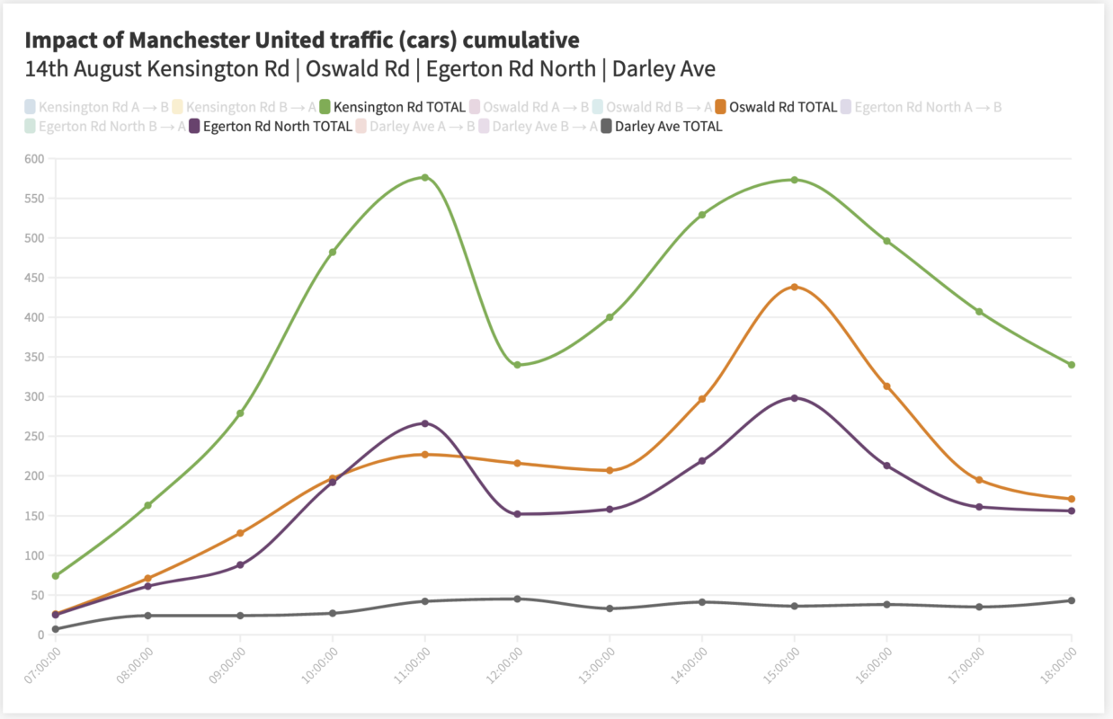
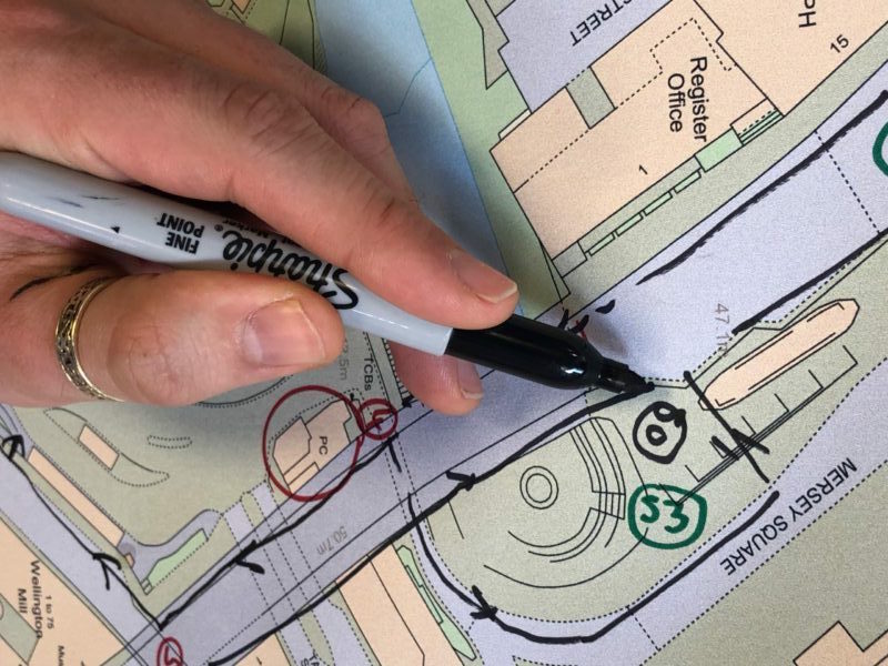
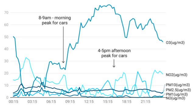
As part of Our Streets Chorlton, Open Data Manchester has been carrying out data monitoring and collection, including local air-quality measurements and traffic surveys. Over the past year, we have
07
Oct
Oct
As part of Our Streets Chorlton, Open Data Manchester has been carrying out data monitoring and collection, including local air-quality measurements and traffic surveys. Each month, we get together with

24
Sep
Sep
As part of Our Streets Chorlton, Open Data Manchester has been carrying out data collection and monitoring, including taking air-quality measurements and doing traffic surveys. We’ve been using this to
07
Sep
Sep
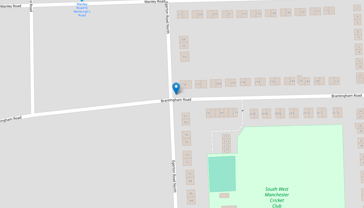
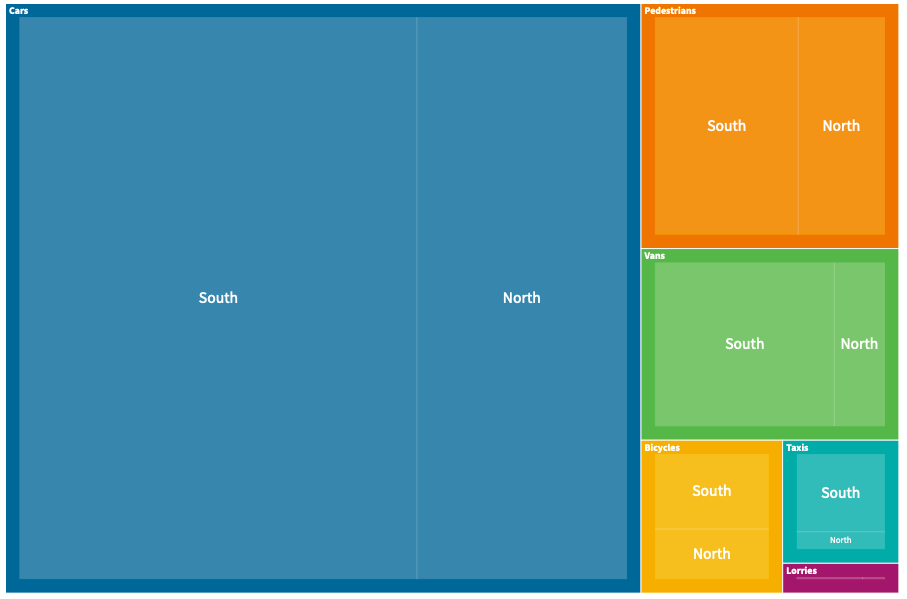
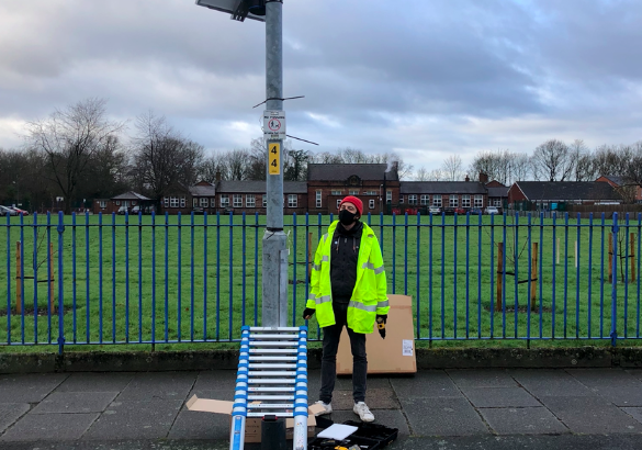
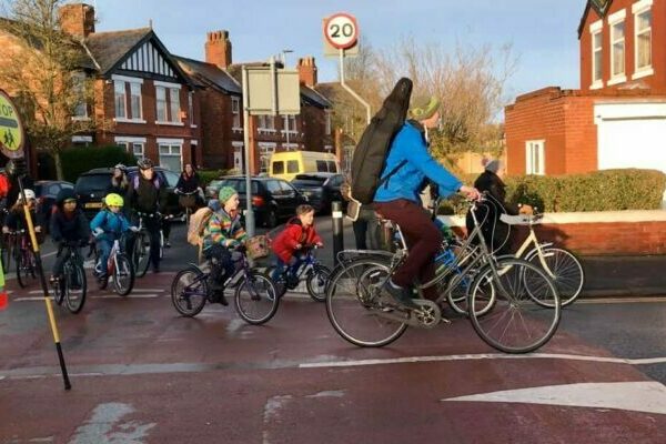
As part of Our Streets Chorlton, Open Data Manchester has installed a number of Telraam traffic counters in different locations around Chorlton and Chorlton Park. Telraams contain small cameras that
25
Aug
Aug
As part of Our Streets Chorlton, Open Data Manchester creates monthly bulletins that showcase some of the data being collected for the project, including the work done directly by community

23
Aug
Aug
You may have seen that ODM has been on the hunt for new team members to support the development of a new data standard and public information portal for plastic

20
Aug
Aug
Open Data Manchester is delighted to have teamed up with fellow local social venture, and waste-data experts, Dsposal for a new Innovate UK R&D project created to help tackle the
26
Jul
Jul
The voices of marginalised people are seldom represented within technical applications. Mapping systems for planning the built environment aren’t always inclusive of their lived experiences. Bias is baked into how
07
Jul
Jul
As part of Our Streets Chorlton, Open Data Manchester creates monthly bulletins that showcase some of the data being collected for the project, including the work done directly by community volunteers.
07
Jun
Jun
As part of Our Streets Chorlton, Open Data Manchester is creating a monthly environmental data bulletin that showcases some of the local data being collected for the project, including the work