Using data ethically, whether in the ways we collect, use and share data, or how we design systems that use it, is key to the Declaration for Responsible and Intelligent Data Practice that was launched last year. We’re delighted to welcome the Manchester-headquartered Co-operative Group as a supporter of the Declaration, a commitment to promoting better data practice
14
May
May
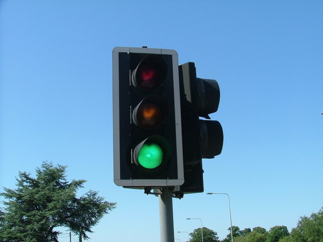
There are nearly 10,000 miles of railway lines and 250,000 miles of roads in the UK, which if laid out, would get you to the moon (although not back!). We likely use these things every day – but probably rarely think about them. Who else uses them? When? Why? And how can communities be involved
09
Apr
Apr
This blogpost was prompted by a Twitter conversation regarding the release of the recent All-Party Parliamentary Group on Data Analytics report Our Place Our Data – Involving People in Data and AI-Based Recovery and the need to have a more localised approach to developing data and AI ethics policy. For the past two years, Open Data
09
Apr
Apr
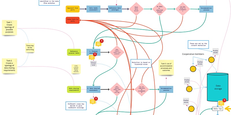
Open Data Manchester has been working with the Carbon Co-op for the past year to develop and test a data-cooperative model for small, energy cooperatives like theirs. The project was a response to a call from the Open Data Institute for research and development initiatives focussed on creating trustworthy, and financially sustainable, infrastructure for ‘data
26
Mar
Mar
Open Data Manchester is collaborating with Catalyst, part of The National Lottery Community Fund COVID-19 Digital Response, to understand how the use of data is transforming the social sector. We know that changing the role data plays within an organisation can be highly disruptive – and perhaps even more challenging in the civil-society sector – where both
26
Mar
Mar
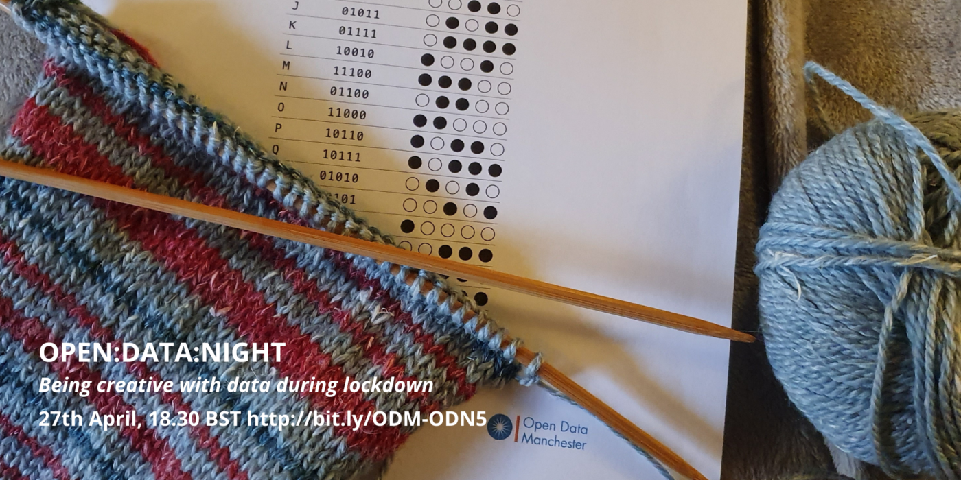
It’s a year on from when the UK went into ‘lockdown’ in response to the COVID-19 pandemic – and while it’s certainly not a time for celebration – we know that the data community has continued to use data creatively while many have been stuck behind their screens. Join us for April’s Open:Data:Night: Being Creative with
26
Feb
Feb
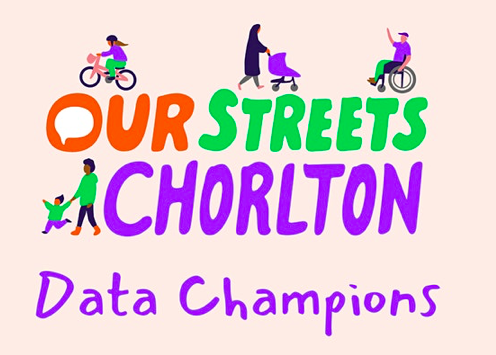
As part of the Our Streets Chorlton project, Open Data Manchester will be carrying out data monitoring and collection, including air quality measurements and traffic surveys. We are helping to form a local group of ‘Data Champions’, as part of the wider Our Street Chorlton Champions group development, to help carry out traffic surveys, along
26
Feb
Feb
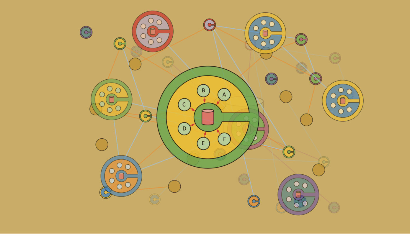
We know that increasing amounts of data exist identifying who we are and what we do, much of which is controlled and used by private companies, so there is growing interest in finding alternatives. Data cooperatives are a form of data custodianship that can help communities collect, pool and share their data for collective good,

29
Jan
Jan
Pick N Mix is a tasty selection of free, online workshops run by members of the ODM community where you get introduced to a new tool, resource or skill in a fun and friendly way. After launching the season one in the first UK COVID-19 lockdown, we’re now on the hunt for new or former

29
Jan
Jan
We launched a series of three public events where local, national and international experts delved into some of the huge questions we must ask ourselves in a world that’s increasingly data-driven. Algorithms and automated decision-making have been with us for years, especially in industrial systems where a condition can be met with a predetermined response.