This blogpost was prompted by a Twitter conversation regarding the release of the recent All-Party Parliamentary Group on Data Analytics report Our Place Our Data – Involving People in Data and
26
Mar
Mar
Open Data Manchester is collaborating with Catalyst, part of The National Lottery Community Fund COVID-19 Digital Response, to understand how the use of data is transforming the social sector. We know
26
Feb
Feb
As part of the Our Streets Chorlton project, Open Data Manchester will be carrying out data monitoring and collection, including air quality measurements and traffic surveys. We are helping to
26
Feb
Feb
We know that increasing amounts of data exist identifying who we are and what we do, much of which is controlled and used by private companies, so there is growing

29
Jan
Jan
We launched a series of three public events where local, national and international experts delved into some of the huge questions we must ask ourselves in a world that’s increasingly
26
Jan
Jan
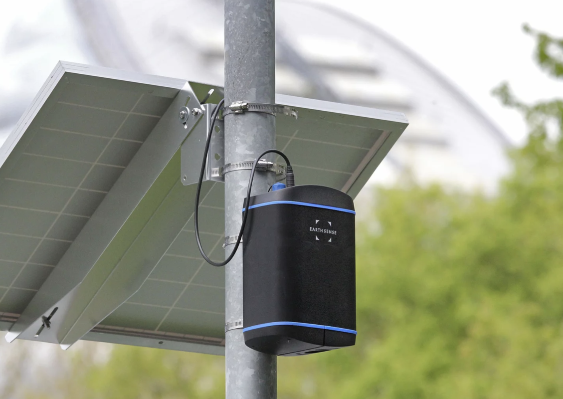
Clean air is vital for healthy, happy living and as part of the Our Streets Chorlton project, Open Data Manchester will be measuring air quality using two Earthsense Zephyr solar-powered
22
Jan
Jan
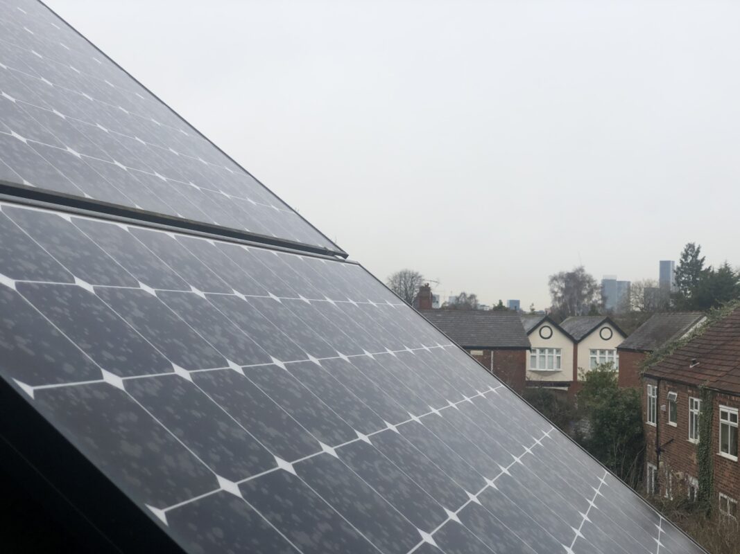
Our homes are responsible for about a quarter of UK energy consumption – and so making UK housing more energy efficient is a big part of the government’s net-zero carbon
22
Dec
Dec
In the past month, we’ve been asking people working in Greater Manchester (GM) what they have, want and need in terms of open data, in order to make it more

21
Dec
Dec
2020 has been a year unlike any other and – like everyone else – we have been forced to adapt to and overcome the various challenges that COVID-19 has thrown at us.
15
Dec
Dec
As part of the Our Streets Chorlton project, Open Data Manchester will be carrying out various data monitoring and collection, including air quality measurements and traffic surveys. We are looking